
Source of the locations
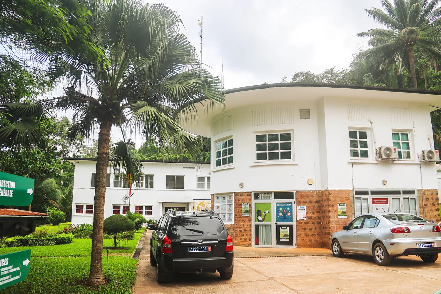
The map uses the exact coordinates recorded in the marker array of the historical page: six research stations or platforms, followed by the main CSRS site in Adiopodoumé. The archived Google Maps scripts are not executed.
Thematic overview of the research sites and main site listed in the historical CSRS map.
Interactive map
The seven markers reproduce the positions recorded in the historical CSRS map. Select a location to view its theme and open its page.
Basemap © OpenStreetMap contributors. Coordinates come from the historical CSRS Google Maps page.
The map uses the exact coordinates recorded in the marker array of the historical page: six research stations or platforms, followed by the main CSRS site in Adiopodoumé. The archived Google Maps scripts are not executed.